Sign In Start Free Trial
Account

Add to playlist

Create a Playlist

Modal Close icon
You need to login to use this feature.
  • Book Overview & Buying Learn QGIS
  • Table Of Contents Toc
  • Feedback & Rating feedback
Learn QGIS

Learn QGIS

By : Cutts, Anita Graser
2 (1)
close
close
Learn QGIS

Learn QGIS

2 (1)
By: Cutts, Anita Graser

Overview of this book

QGIS 3.4 is the first LTR (long term release) of QGIS version 3. This is a giant leap forward for the project with tons of new features and impactful changes. Learn QGIS is fully updated for QGIS 3.4, covering its processing engine update, Python 3 de-facto coding environment, and the GeoPackage format. This book will help you get started on your QGIS journey, guiding you to develop your own processing pathway. You will explore the user interface, loading your data, editing, and then creating data. QGIS often surprises new users with its mapping capabilities; you will discover how easily you can style and create your first map. But that’s not all! In the final part of the book, you’ll learn about spatial analysis and the powerful tools in QGIS, and conclude by looking at Python processing options. By the end of the book, you will have become proficient in geospatial analysis using QGIS and Python.
Table of Contents (8 chapters)
close
close

Styling raster layers

From the QGIS Sample dataset, load the SR_50M_alaska_nad.tif and landcover.img files from the Raster folder. Turn on the Layer Styling Panel if it is not already on, and then load the RGB_LandsatARD.tif file from this book's download page.

Download the extra material for this book from www.packt.com.

Your screen should look similar to the following. The three raster layers loaded into the QGIS layers panel are shown here:

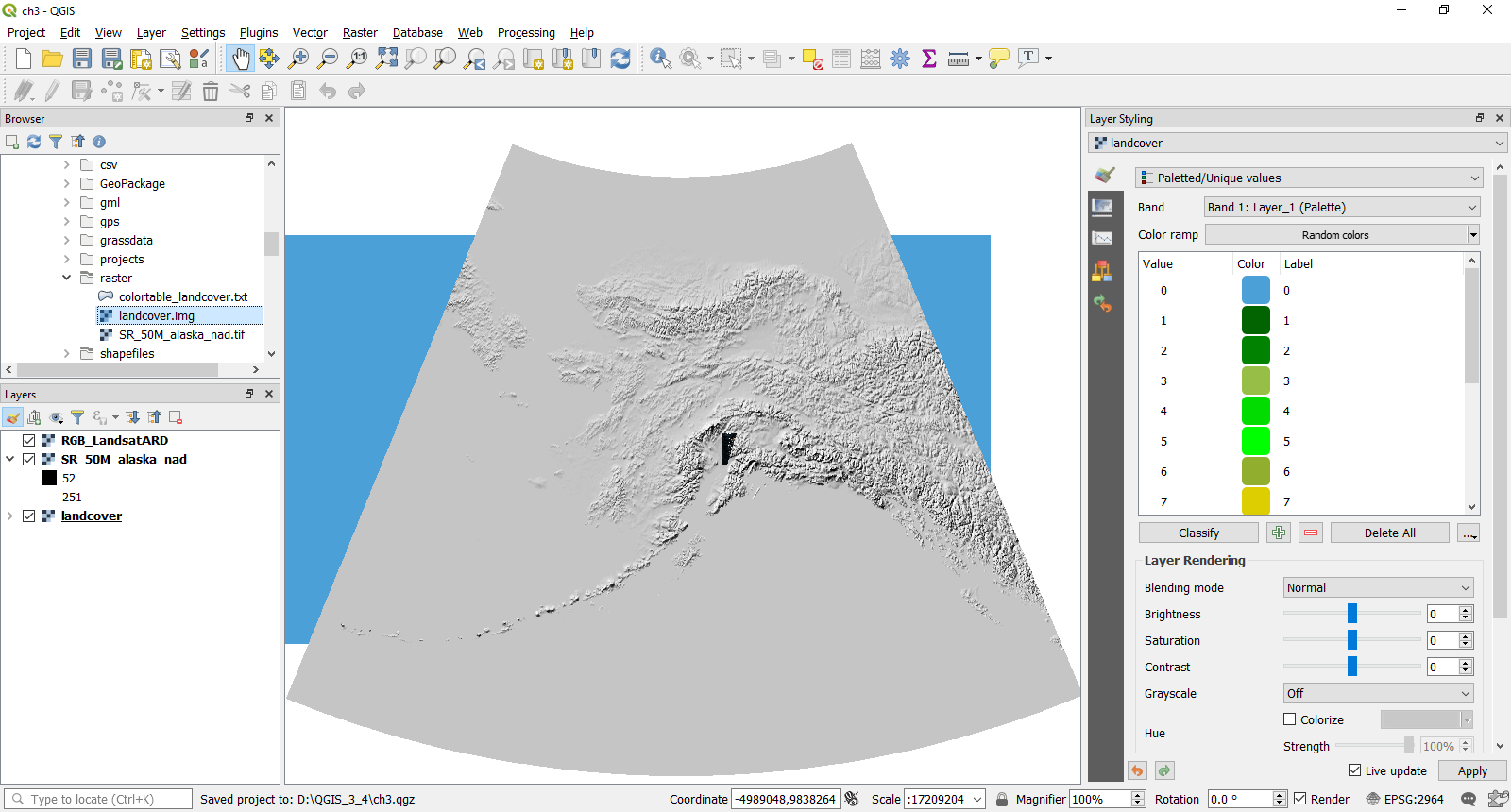
QGIS with the raster datasets loaded

In the map window, we now have three of the most common types of Raster datasets: a Satellite image (this is Landsat 8 Analysis-Ready Data), a Terrain dataset (Hillshade data that covers the whole of Alaska), and a landcover dataset that has been loaded as a paletted image by default.

In QGIS 3.4, there are five methods for styling your raster. These methods consist of the following:

  • Multi-band...

Unlock full access

Continue reading for free

A Packt free trial gives you instant online access to our library of over 7000 practical eBooks and videos, constantly updated with the latest in tech
bookmark search playlist download font-size

Change the font size

margin-width

Change margin width

day-mode

Change background colour

Close icon Search
Country selected

Close icon Your notes and bookmarks

Delete Bookmark

Modal Close icon
Are you sure you want to delete it?
Cancel
Yes, Delete

Confirmation

Modal Close icon
claim successful

Buy this book with your credits?

Modal Close icon
Are you sure you want to buy this book with one of your credits?
Close
YES, BUY