Sign In Start Free Trial
Account

Add to playlist

Create a Playlist

Modal Close icon
You need to login to use this feature.
  • GeoServer Beginner's Guide
  • Toc
  • feedback
GeoServer Beginner's Guide

GeoServer Beginner's Guide

By : Iacovella
3 (2)
close
GeoServer Beginner's Guide

GeoServer Beginner's Guide

3 (2)
By: Iacovella

Overview of this book

GeoServer is an opensource server written in Java that allows users to share, process, and edit geospatial data. This book will guide you through the new features and improvements of GeoServer and will help you get started with it. GeoServer Beginner's Guide gives you the impetus to build custom maps using your data without the need for costly commercial software licenses and restrictions. Even if you do not have prior GIS knowledge, you will be able to make interactive maps after reading this book. You will install GeoServer, access your data from a database, and apply style points, lines, polygons, and labels to impress site visitors with real-time maps. Then you follow a step-by-step guide that installs GeoServer in minutes. You will explore the web-based administrative interface to connect to backend data stores such as PostGIS, and Oracle. Going ahead, you can display your data on web-based interactive maps, use style lines, points, polygons, and embed images to visualize this data for your web visitors. You will walk away from this book with a working application ready for production. After reading GeoServer Beginner's Guide, you will be able to build beautiful custom maps on your website using your geospatial data.
Table of Contents (13 chapters)
close

Adding a raster

After discussing the different raster formats, you may wonder if configuring them is as easy as with vector data. In fact, it is a really simple operation. In the following steps, we will guide you through obtaining a raster file and adding it to the GeoServer configuration:

  1. First of all, we need a raster dataset. As with vector data an excellent source is the Natural Earth data web site. Open your browser and point it to http://www.naturalearthdata.com/downloads/10m-raster-data/10m-cross-blend-hypso. Here you can find a few raster dataset, scroll down the page until you locate the datasets; as in the following screenshot:
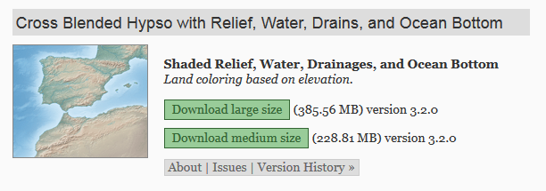
  1. Download the medium size dataset by clicking on the corresponding link.
  2. Extract the zip archive using the command line tool, as in this example, or the zip GUI:
        $ unzip HYP_LR_SR_OB_DR.zip  
  1. From the GeoServer administration interface...

Unlock full access

Continue reading for free

A Packt free trial gives you instant online access to our library of over 7000 practical eBooks and videos, constantly updated with the latest in tech
bookmark search playlist font-size

Change the font size

margin-width

Change margin width

day-mode

Change background colour

Close icon Search
Country selected

Close icon Your notes and bookmarks

Delete Bookmark

Modal Close icon
Are you sure you want to delete it?
Cancel
Yes, Delete